Mystery
The Vanishing River
The river runneth under.
See it clearly
- What's there
- River channel that can run dry in summer
- Legend from
- John Speed's map (1611)
- Best time
- Late summer droughts
- Tone
- Curious
Mystery · Mickleham
Open on the map: directions, what's there today and read-aloud →
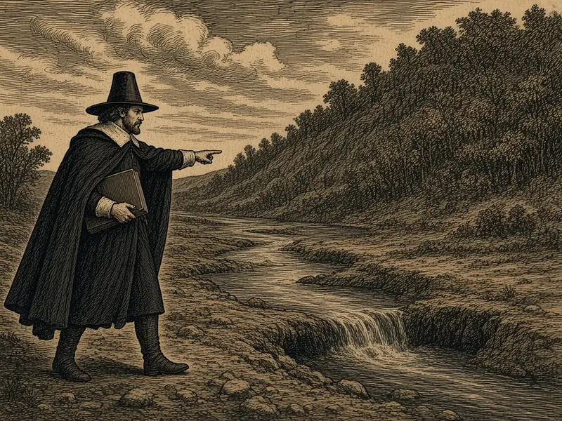
The river runneth under.
See it clearly
Riverside paths around Burford Bridge and Mickleham; swallow holes are in the bed. Check before you go.
In hot summers the Mole just disappears. The old map says 'the river runneth under'.
Between Dorking and Leatherhead the River Mole cuts through the chalk of the North Downs, and in hot summers it can simply vanish. Its water drains down swallow holes in the riverbed and comes up again miles away. John Speed's map of 1611 marks the stretch with a row of little hills and the words 'The river runneth under'. It is tempting to think the river was named for burrowing like a mole. Place-name experts disagree and point to Molesey or the Latin word for a mill. The river ran dry again in 2026.